Frost heave, how winter freeze–thaw moves airport pavements
For airports in Finland, Scandinavia and other cold regions, one of the main seasonal risks under pavements is frost heave.
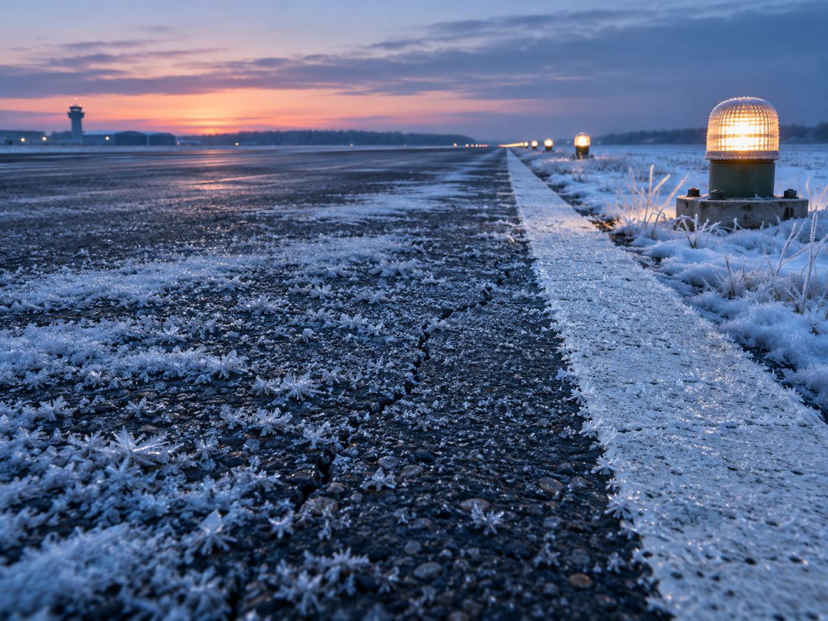
In northern winters, pavements are not the only thing that freezes. Water in the soil underneath freezes too, and when it does, the ground can lift. In spring, as the ice melts, the same ground can lose strength and settle.
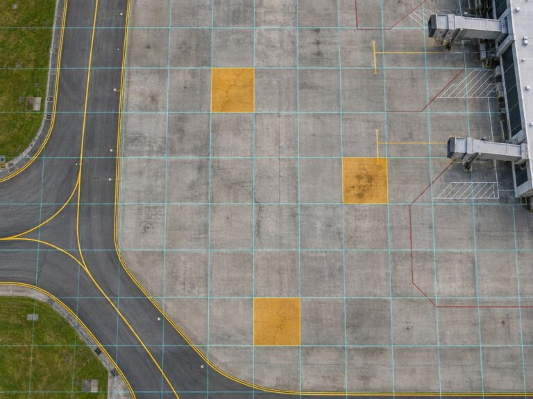
For airport pavements this cycle shows up as uneven surfaces, cracking and joint problems, often in places that were fine the year before. Because it is seasonal, a single inspection can catch the pavement at its best or at its worst.
Below we explain why the ground moves in winter, how pavement design guidance treats it, why it is hard to watch across a whole airport and how satellites can help. If your airport has long winters, take a look.
Category: Airport operations
Frost heave happens when ice lenses grow in frost-susceptible soil
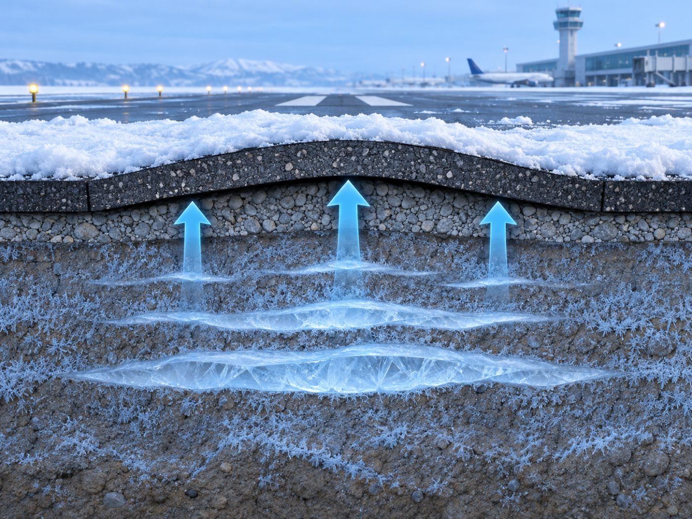
When the freezing front moves down into the ground, water in fine-grained soils such as silts and some clays is drawn toward it and freezes into layers of ice, often called ice lenses. As they grow, they push the ground above upward.
The amount of lift depends on the soil type, the depth of freezing and how much water is available. Because these vary across a site, the lift is rarely even. One section of pavement may rise more than its neighbour.
In spring the ice melts from the top down. Meltwater can be trapped above still-frozen ground, leaving the soil weak for a period. This thaw weakening is often when pavements suffer most damage under traffic.
Pavement design guidance already treats frost as a design factor
The FAA’s AC 150/5320-6G, Airport Pavement Design and Evaluation includes guidance on frost and permafrost as part of pavement design. Designers consider frost penetration depth and soil frost susceptibility when choosing layer thickness and materials.
Maintenance guidance such as AC 150/5380-6C then covers the routine inspection and repair of pavements once they are in service. Seasonal distress caused by freezing and thawing is one of the things those inspections pick up.
Design reduces the risk; it does not remove it. Conditions under an older pavement change over decades, drainage can deteriorate and winters vary from year to year.
Frost heave across a whole airport is hard to watch from the ground
Ground-based measurements of seasonal movement are usually limited to a few test sections or instrumented points. They give excellent detail where they are installed and very little information elsewhere.
Winter also makes fieldwork harder. Snow cover, short days and operational constraints limit when crews can measure on the airfield.
Radar satellites are not affected by darkness or cloud, so they keep measuring through the polar night. Snow and wet surfaces can reduce the reliability of some measurements, which is why a good screening marks such cells as unassessed rather than guessing.
The result is that many airports know they have seasonal movement in general, but not exactly where it is strongest, or whether it is getting worse from one winter to the next.
Satellite radar and surface temperature together show the seasonal pattern
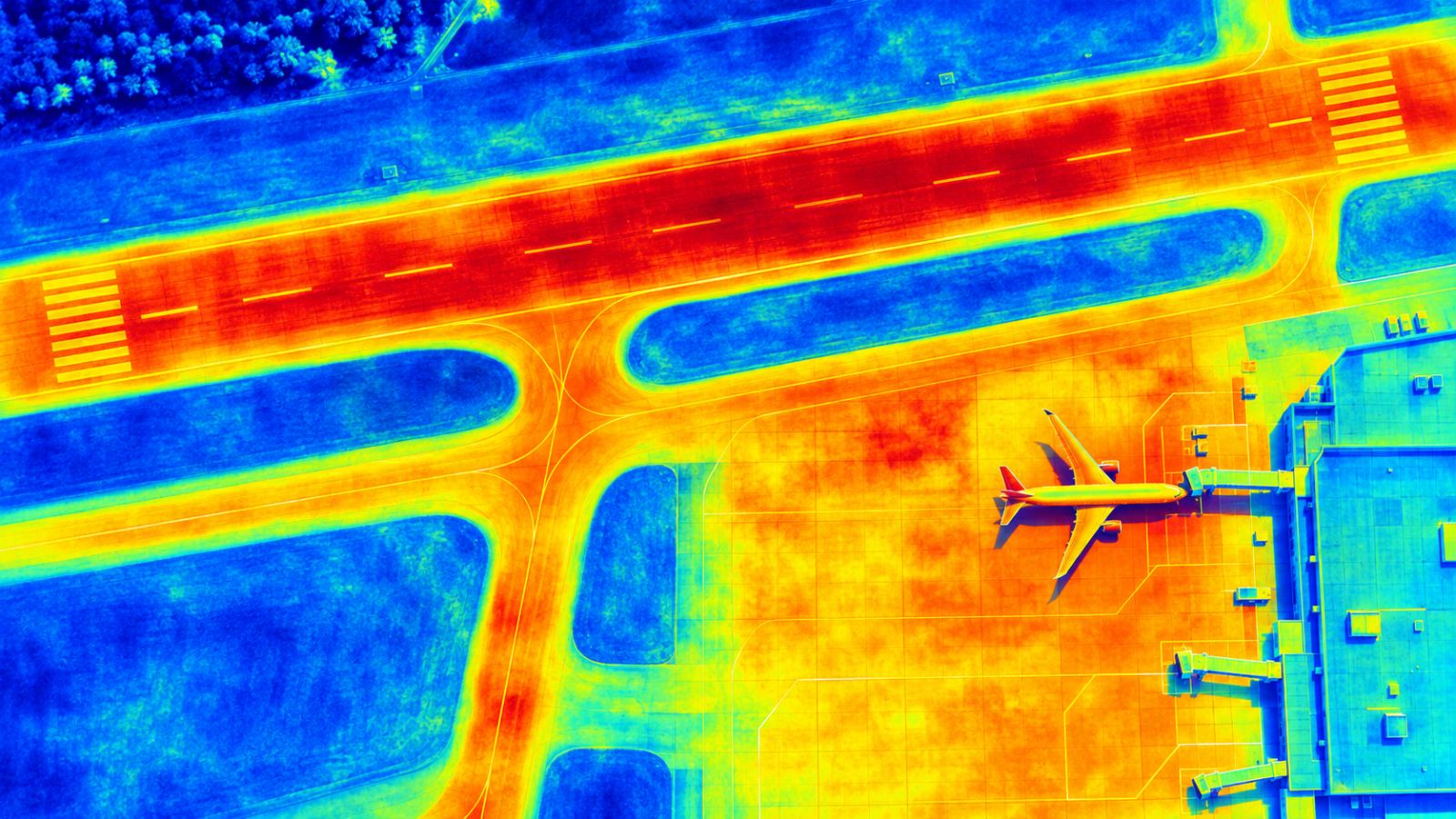
Repeated radar measurements over several winters reveal which parts of the airport rise and settle with the seasons, and which move steadily. That pattern helps separate seasonal behaviour from long-term settlement.
Surface temperature adds context. The Sentinel-3 SLSTR instrument measures thermal infrared at about 1 km resolution at nadir. That is coarse for pavement detail but useful for following freeze and thaw across the airport area through the season.
TOWER combines these layers on one map and updates every 12 to 15 days. We hope to test this approach with a Nordic airport and local partners, comparing winter screening results with field measurements.
The aim is not to forecast frost damage on a particular slab. It is to show, across the whole airport, where seasonal movement is largest and whether it is changing, so that inspections and repairs in spring can start in the right places.
So far we have explained how freeze–thaw moves airport pavements and how satellites can follow it. You can read more on our Cold-climate airports page.
Frequently asked questions
Which soils are most affected by freezing?
Fine-grained soils such as silts and some clays, especially when water is available. Coarse, well-drained materials are much less affected.
Why is spring often worse than winter?
Melting ice can leave water trapped above still-frozen ground, weakening the soil for a period while traffic continues.
Does snow stop satellite measurements?
Radar keeps measuring, but snow can reduce reliability in some areas. Those cells are marked as unassessed for that period.
Not sure where to check first at your airport?
We can start with a screening of your whole airport from public satellite data.
Discuss a PoC →Edited and answered by the MomentCube TOWER team / james@momentcube.com · +82-32-212-1011