EGMS, what Europe’s free ground motion service can tell an airport
If your airport is in Europe, the quickest free look at ground movement around your site is EGMS.
Before any pilot or purchase, most airport engineers want a simple answer: has the ground around our airport been moving at all? In Europe there is a free public service that can give a first impression in minutes.
The service is part of Copernicus Land Monitoring. It turns years of radar satellite data into points on a map, each with a velocity and a time series, and anyone can browse it online.
This article explains what the service is, how an airport can use it, where its limits are for day-to-day maintenance and how a regular screening service fits next to it. If you are preparing for a conversation about ground monitoring, take a look.
Category: Technology
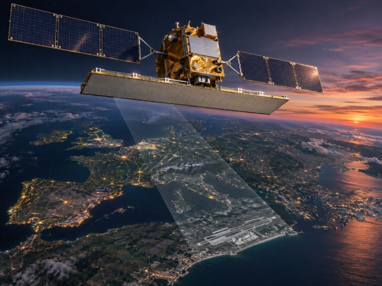
EGMS maps ground motion across Europe from Sentinel-1 radar
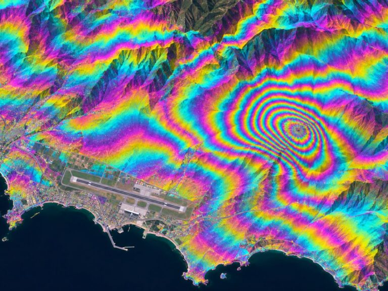
The Copernicus Land Monitoring Service page for the European Ground Motion Service describes it as using radar interferometry data derived from Sentinel-1 to detect and measure ground movement across Europe with millimetre precision. It was created in response to user needs raised at the Copernicus User Forum.
According to the same page, the product is updated annually and can support authorities monitoring the structural integrity of dams, bridges, railways and buildings, as well as planners assessing hazards such as landslides and subsidence.
The data is viewed and downloaded through the EGMS Explorer. The page notes that only the latest two product releases are available there.
EGMS and regular airport screening side by side
About once a year
Every 12 to 15 days
Points across Europe
90 m grid over one airport
Map explorer and downloads
Priority list of cells to check
Not separated
Detected to reduce false alarms
An airport can use the explorer for a quick first look
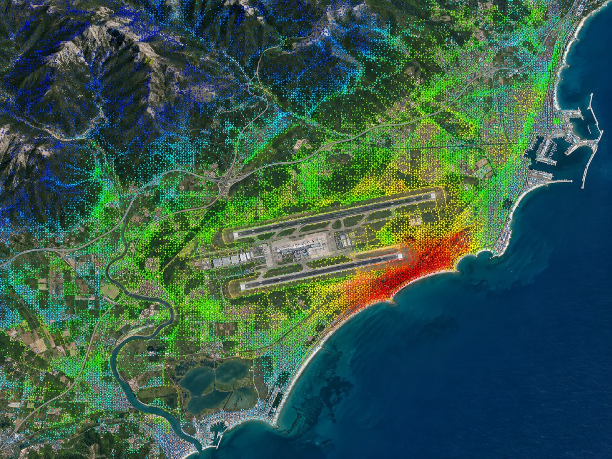
Open the explorer, zoom to the airport and look at the measurement points on and around the runways, taxiways, aprons and terminal area. Points are coloured by average velocity, and clicking one shows its time series.
This is a good way to see whether the area has a history of settlement, whether movement is concentrated in particular zones and how the airport compares with its surroundings.
It is also a useful conversation starter with engineering consultants. Many questions about whether a monitoring pilot makes sense can be answered from this first look.
A few points are worth keeping in mind while browsing. Velocities are averages over the product period, points sit where the radar found stable reflectors rather than on a regular grid, and values are relative to a reference rather than absolute heights.
EGMS updates once a year, which shapes how it can be used
An annual update is excellent for long-term trends and planning. It is less suited to the day-to-day question of where a maintenance team should look this month.
The service is also general-purpose. It does not know where your runway ends or which apron stands are busiest, and it does not rank areas for inspection. Interpreting the points for airport use is left to the user.
Busy aprons add another difficulty. Parked aircraft and vehicles change from one image to the next, and a general product does not separate them from ground change.
Regular airport screening builds on the same satellite data
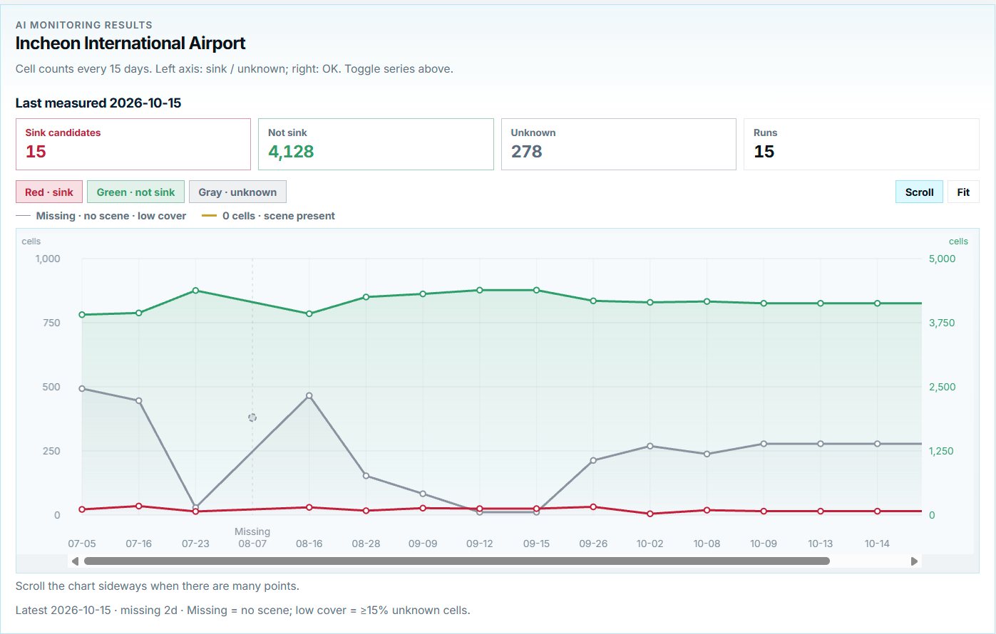
TOWER uses Sentinel-1, the same mission behind EGMS, among ten satellite sources. The difference is in how the data is organised for an airport: a 90 m grid over the airport area, updates every 12 to 15 days and an AI-ranked list of cells to check first.
Aircraft detection and surface temperature are added on the same map so that busy aprons and seasonal effects are easier to read. Cells that cannot be assessed reliably are marked rather than guessed.
The two work well together. EGMS gives a free regional and historical view; regular screening turns the same kind of measurement into an inspection plan for one airport.
For airports outside Europe, there is no equivalent free service with the same coverage, but the underlying Sentinel-1 data is global, so the same kind of analysis can be carried out anywhere.
So far we have explained what EGMS offers an airport and how regular screening builds on it. You can see a side-by-side view on our TOWER vs. InSAR services page.
Frequently asked questions
Is EGMS free to use?
Yes. It is part of the Copernicus Land Monitoring Service and the data can be viewed and downloaded through the EGMS Explorer.
Does EGMS cover airports outside Europe?
No. It covers Europe. For airports elsewhere, the same kind of analysis can be done from global Sentinel-1 data.
Why not use EGMS alone for maintenance?
It is updated once a year and is not tailored to airport layouts or inspection planning, so it works best as background rather than as a monitoring routine.
Not sure where to check first at your airport?
We can start with a screening of your whole airport from public satellite data.
Discuss a PoC →Edited and answered by the MomentCube TOWER team / james@momentcube.com · +82-32-212-1011