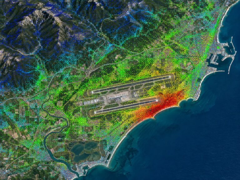
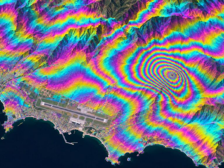
Sentinel-1, the free radar satellite behind airport ground monitoring
When an airport wants to try satellite ground monitoring without buying data first, the natural place to start is Sentinel-1.
Satellite data used to be the expensive part of any monitoring project. For radar, that changed with the Copernicus programme of the European Union and the European Space Agency, which made its radar archive free and open.
For airports this matters in a very practical way. A pilot can start with years of past images of the site, at no data cost, and show whether the ground has been moving before anyone signs a contract for high-resolution acquisitions.
Below we look at what the mission is, how often it passes over an airport, which mode is used over land and how it fits with commercial radar satellites. If you are planning a first screening, take a look.
Category: Technology
Sentinel-1 is the radar mission of the Copernicus programme
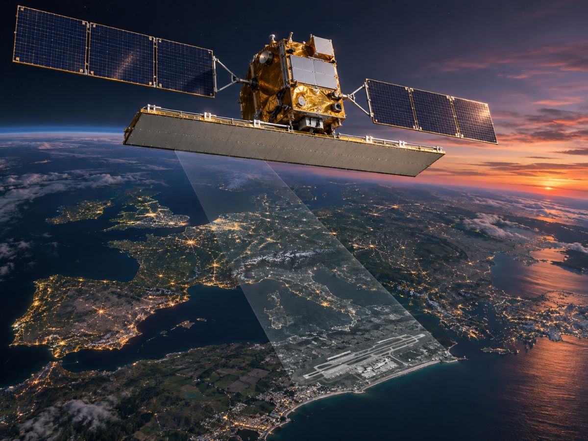
According to the Sentinel-1 mission page on SentiWiki, the mission is the European radar observatory for Copernicus, run by the European Commission and ESA. Its satellites carry a C-band synthetic aperture radar that images day and night, regardless of weather.
The first satellite, Sentinel-1A, launched in April 2014. Sentinel-1B followed in 2016 but stopped delivering data at the end of 2021. Sentinel-1C launched in December 2024 and Sentinel-1D in November 2025, so the constellation continues.
Because the mission runs in a pre-programmed observation scenario, it builds a consistent long-term archive. That archive is what makes time series of ground movement possible.
A single satellite repeats its orbit every 12 days
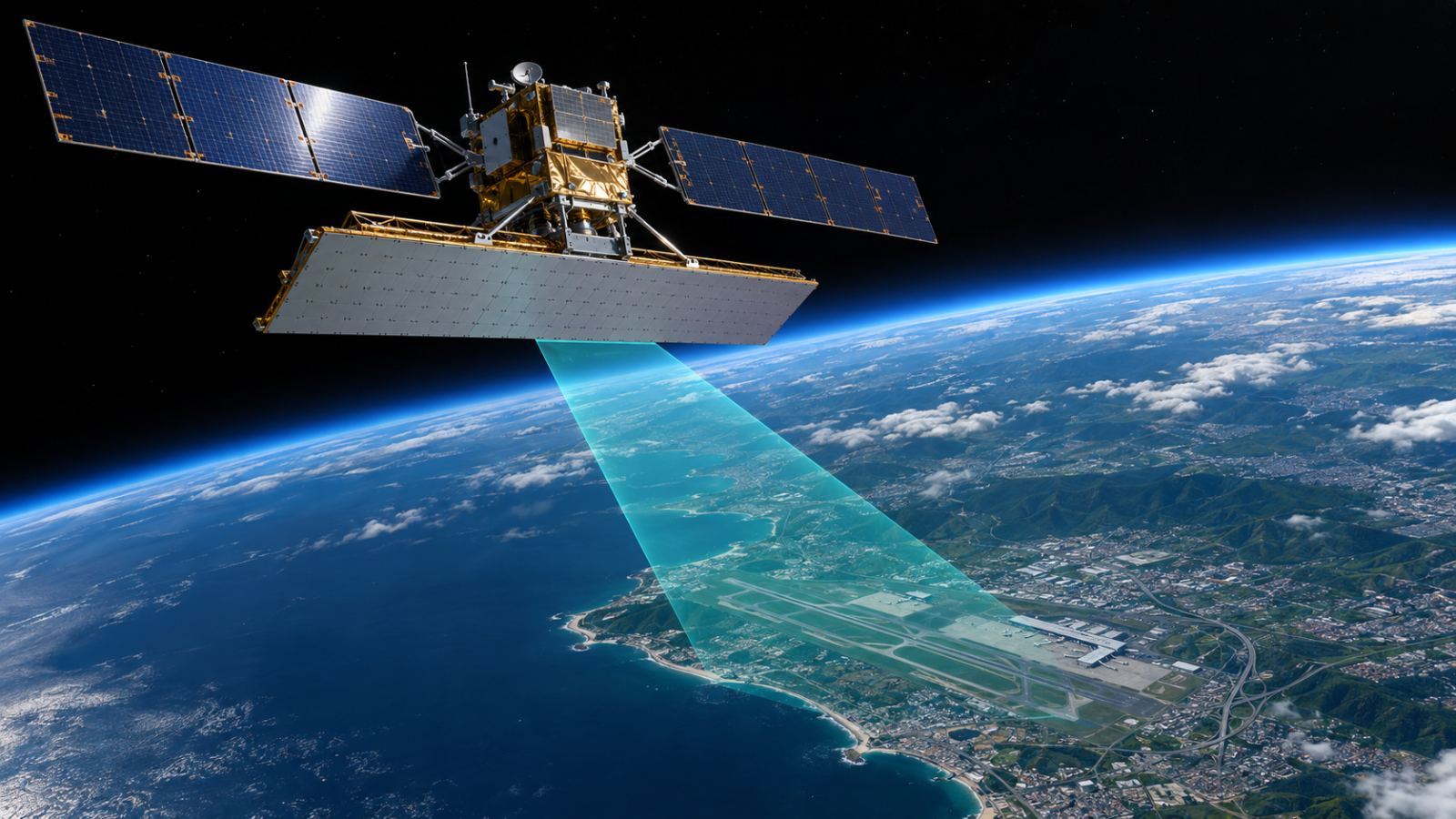
The mission page states that one satellite can map the world in Interferometric Wide swath mode once every 12 days, and a two-satellite constellation gives a 6-day repeat cycle. Revisits are more frequent at higher latitudes, which helps airports in northern Europe.
This repeat cycle sets the rhythm of monitoring. TOWER updates every 12 to 15 days, following the passes available for each airport.
Interferometric Wide swath is the main mode over land. It covers a wide strip in one pass, so a whole airport and its surroundings sit inside a single image, and it is the mode most ground motion products are built on.
For an airport, the practical meaning is simple. Every few weeks there is a new measurement of the whole site, and every past pass since 2014 is already in the archive for comparison.
Sentinel-1 data has limits that airports should know about
The resolution of the wide-swath mode is good for whole-site screening but not for every pavement detail. Narrow features, individual slabs or small structures are better served by high-resolution commercial radar.
C-band signals are affected by vegetation, wet snow and changes in soil moisture between dates. On grass areas around runways the measurement can be less reliable than on pavement, and some cells may have to be marked as unassessed.
Processed products reduce the work of getting started. NASA’s ARIA project, for example, publishes Sentinel-1 interferogram products (GUNW) through the Alaska Satellite Facility. TOWER uses this kind of public data as one of its inputs.
Sentinel-1 satellites at a glance
First satellite launched in April.
Second satellite joins; 6-day repeat as a pair.
No data after December 2021.
Launched in December.
Launched in November.
Free data first, commercial radar where it adds value
A sensible pilot starts with the free archive. It shows the history of the site and gives a first list of areas to check without any data purchase.
Where the screening points to runways, aprons or other critical areas, higher-resolution radar from commercial constellations such as ICEYE, Capella, TerraSAR-X or COSMO-SkyMed can be added for a closer look. TOWER works with ten satellite missions, so the mix can follow the need.
New missions widen the options further. NISAR, a joint NASA and Indian mission, adds L-band radar that sees differently through vegetation. Each source has a role; the free archive is simply the cheapest place to begin.
In practice we often begin a conversation by showing an airport its own history from the free archive. It is a quick way to see whether there is movement worth watching, before any budget is committed.
So far we have explained what Sentinel-1 offers and how it fits an airport pilot. You can see how a PoC starting from public satellite data is organised on our PoC partnership page.
Frequently asked questions
Is Sentinel-1 data really free for commercial use?
Copernicus data is provided on a free, full and open basis, including for commercial use. Processing and interpretation are where the work and cost lie.
How far back does the archive go?
Sentinel-1A has been imaging since 2014, so many airports have more than ten years of radar history available.
Do we need commercial satellites at all?
Not for a first screening. They become useful when you need finer detail on runways, aprons or specific structures.
Not sure where to check first at your airport?
We can start with a screening of your whole airport from public satellite data.
Discuss a PoC →Edited and answered by the MomentCube TOWER team / james@momentcube.com · +82-32-212-1011