What is InSAR? How satellites measure airport ground movement
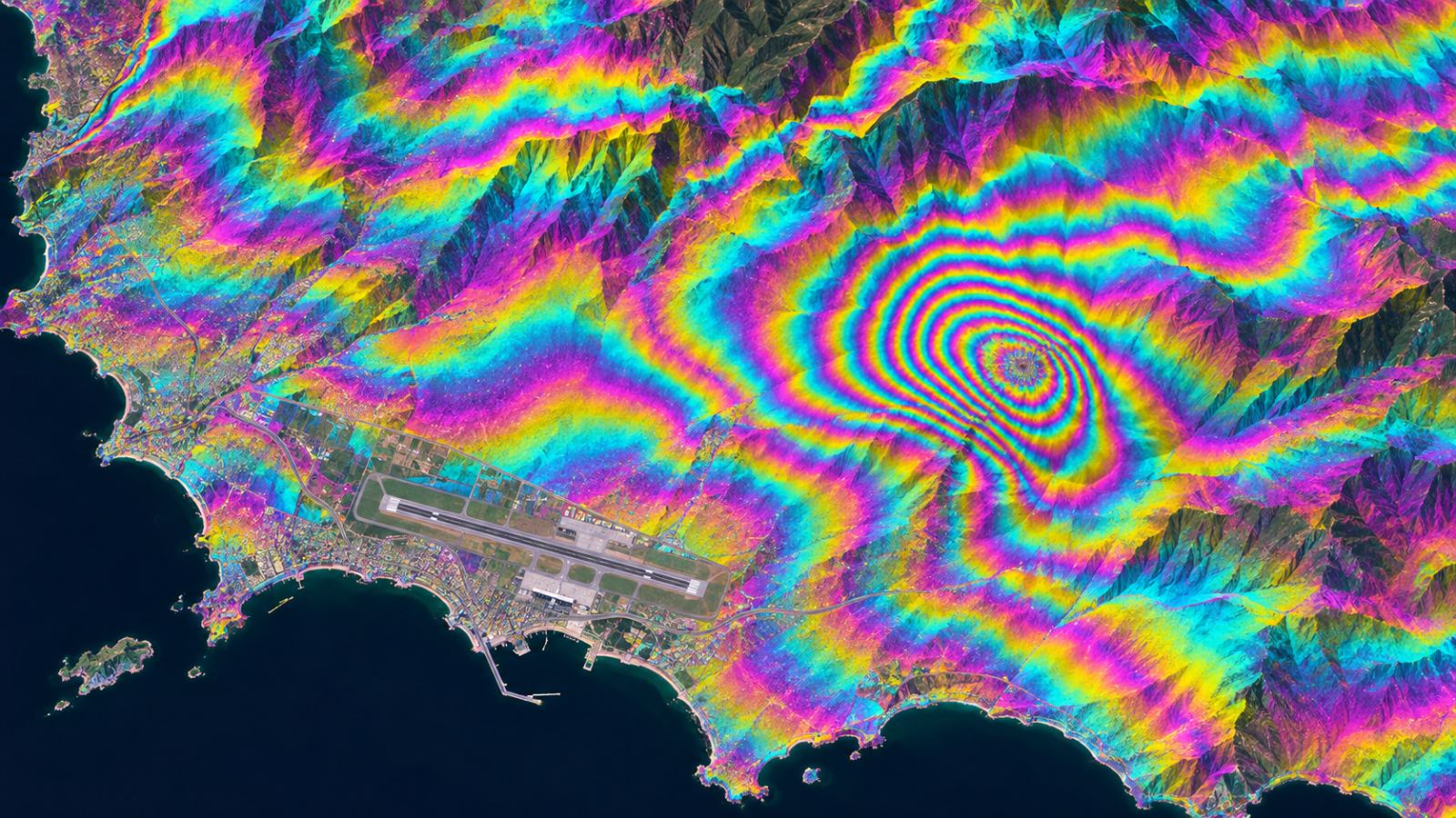
Short answer: InSAR (Interferometric Synthetic Aperture Radar) compares radar satellite images of the same place taken on different dates. Tiny shifts in the radar signal show how the ground has moved between passes. At an airport, this lets you measure movement across every runway, taxiway and apron at once, without installing anything on site.
How InSAR works, in three steps
- A radar satellite images the airport. SAR satellites send radar pulses and record the echo. Radar works day and night and through cloud.
- The satellite comes back. Missions such as Sentinel-1 revisit the same place on a regular schedule.
- The images are compared. Differences in the signal phase between dates reveal movement toward or away from the satellite, often at millimetre scale.
Why InSAR suits airports
Airports are large, flat and full of hard surfaces that reflect radar well. Many are built on reclaimed or soft ground that can settle unevenly. Point surveys and sensors are precise, but they only measure single points. InSAR covers the whole site, so movement between survey points is not missed.
What InSAR cannot do on its own
- It does not tell you why the ground moved. Field checks are still needed.
- Snow, vegetation and moving objects such as aircraft can affect results in some areas.
- Raw InSAR results are large and technical. Airport teams need them turned into decisions.
From InSAR data to a check list: how TOWER uses it
TOWER splits the airport into a 90 m grid, measures each cell with satellite data, detects aircraft to reduce false alarms and uses AI to flag the cells that need attention. At Incheon International Airport, the December 2025 analysis suggested 25 of 4,421 cells (0.6%) for priority checks. See how it works and the ground movement monitoring page.
FAQ
What does InSAR stand for?
Interferometric Synthetic Aperture Radar.
How accurate is InSAR?
InSAR can detect very small movements, often at millimetre to centimetre scale over time, depending on the satellite, the surface and the processing. Field checks confirm results.
Is InSAR data free?
Some is. Copernicus Sentinel-1 data is free and covers Europe regularly. Commercial SAR satellites offer higher resolution for a fee.