Runway and apron monitoring.
Focus satellite checks on the paved areas where safety and operations matter most.
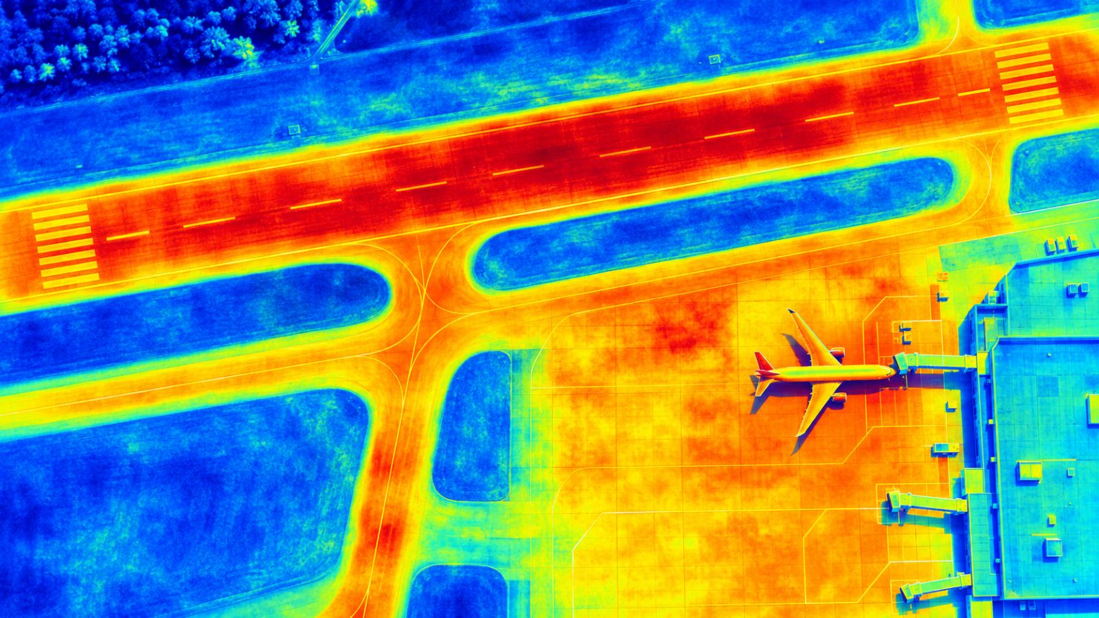
Movement, temperature and traffic in one view.
Runways and aprons are busy and safety-critical. TOWER combines ground movement, surface temperature and aircraft detection so teams can read change on paved areas with fewer false alarms.
- High-resolution SAR can be added for runways
- Aircraft detection reduces false alarms on aprons
- Surface temperature adds pavement context
- Flagged cells shown next to runway and taxiway layout
FAQ
Frequently asked questions
Is the resolution good enough for runways?
Public data gives a whole-airport screening. For runway and apron checks, high-resolution commercial SAR (for example ICEYE or Capella) can be added.
How do you avoid false alarms from parked aircraft?
TOWER detects aircraft on the map and takes them into account when it flags cells.
Related pages
Work with us
Let’s run a PoC together.
We hope to start with public satellite data at your airport: no equipment, a screening report first, then field checks with your team.