Airport ground movement monitoring with InSAR.
See where the ground moves across the whole airport, and how it changes over time, using satellite radar.
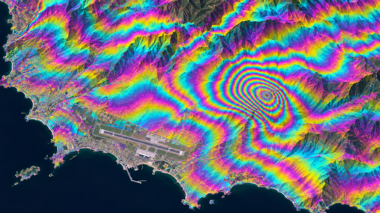
How it measures
Satellite radar sees millimetre-scale change.
InSAR compares radar images of the same place taken on different dates. Small shifts in the radar signal reveal how the ground has moved between passes, over every part of the airport at once.
- Covers runways, taxiways, aprons and surrounding land in one view
- Works day and night and through cloud
- Builds a time series, so you can see trends, not one snapshot
- Results are summarised per 90 m grid cell
Why it matters
Point surveys can miss movement between points.
Levelling surveys and sensors are precise but cover single points. On soft or reclaimed ground, uneven settlement can develop between them. A whole-site view helps teams decide where a survey is needed.
Whole-site coverage
Every cell is measured on each update, not only surveyed points.
Trend over time
Repeated observations show whether movement is speeding up or settling.
Input for AI screening
Movement data feeds TOWER’s AI, which flags the cells to check first.
FAQ
Frequently asked questions
What is InSAR?
InSAR (Interferometric Synthetic Aperture Radar) compares radar satellite images taken at different times to measure small ground movements over large areas.
Can InSAR replace field surveys?
No. TOWER uses InSAR to screen the whole airport and suggest where to check. Field surveys then confirm the result in those places.
Does weather stop measurements?
Radar works through cloud and at night, so measurements continue in poor weather. Snow and vegetation can affect some areas; TOWER marks cells it cannot assess as unassessed.
Related pages
Work with us
Let’s run a PoC together.
We hope to start with public satellite data at your airport: no equipment, a screening report first, then field checks with your team.